All
SITIA, THE OTHER FACE OF CRETE
A trip to Sitia, the southeastern edge of Europe, is an unprecedented experience, so full of feelings and emotions that it seems like a sweet game of love in which all the elements of nature and life play a part.
Nature, light and people become living legends. For this is the edge, the limit, a distant land. This is the gateway of the ancient Minoan world to the East, it was here that Zeus the bull carried the beautiful Europa on his back from the coast of Asia. This is the ancient crossroads of the sea routes and civilisations of three continents, Europe, Asia and Africa. Here was sung the first hymn to Peace in the whole of the ancient world, here in the land of the Eteocretans. Here everything has left a bright mark, giving things a mythical dimension.
Here, too, the warm, dry, temperate climate, the life-giving sun and the cool breezes all sharpen your senses and refresh you.
ANTIQUITIES & MUSEUMS
Few other places can boast such a wealth of archaeological sites and monuments as Sitia province.
The Minoan Palace of Zakros and the Minoan town of Palaikastro, the Minoan harbour-centres of Mochlos and Pseira, Doric-Hellenistic Itanos and Doric-Eteocretan Praisos, the Kazarma Fortress in Sitia, the Venetian villa and village of Etia and the medieval village of Voila, the “Great Monastery” of Toplou and a multitude of pretty Byzntine churches. There are also important museums such as the Sitia Archaeological Museum, the Folk Museums of Sitia, Chamezi, Palaikastro and Praisos, the Toplou Monastery Museum, the Zakros Museum of Water and the Zakros Natural History Museum.
BEACHES
Sitia Province has many stunningly beautiful beaches with crystal-clear waters and sandy strands under the fiery sun. Some are secluded, ideal for quiet, solitary moments of peace, while others are busy, for those who like watersports and being in the centre of things.
The best beaches are those of Vai, Kouremenos, Erimoupoli, Chiona, Kato Zakros, Sitia, Makrygialos, Xerokambos and the islands of Leuce (Koufonisi) and Mochlos.
ISLANDS
Several uninhabited islets with secluded beaches are scattered off the coast of Sitia Province, providing ideal places to swim and fish in crystal-clear waters.
These are Koufonisi (with daily boat trips in the summer from Makrygialos), the Dionysades, Pseira, Agios Nikolaos (Mochlos) and Elassa.
NATURE TRAILS
Wonderful nature trails such as the E4 European path crisscross Sitia Province with its astonishingly beautiful and accessible gorges, including Rihtis with its unique waterfall, Zakros, Kapsas, Pefka, Orini and Chochlakies.
SITIA NATURE PARK - INTERNATIONAL UNESCO GEOPARK
The history of this land has run in parallel to that of its people for thousands of years.
If human time usually leaves gaps and unexplored areas, the time of the land of Sitia has traced its mark in every detail, on the rocks, in the clefts, in the caves and in the unique gorges.
Here in East Crete, the paths of land and people intertwine and complement each other. The marks of human activity are revealed in the rich archaeological discoveries and in the present-day life, as yet unadulterated, of the inhabitants. The land is revealed at each of the hundreds of sites of geological interest in the area.
The “geosites”, forming a parallel route of manmade and natural landmarks, invite discovery by visitors to the Sitia Nature Park.
TRADITIONAL CUISINE
It is no exaggeration to say that Sitian cooking is the most representative example of traditional Cretan cooking, considered one of the healthiest in the world. The richness and variety of the produce of the blessed Sitian soil, with olive oil first and foremost, has created down the ages a cuisine of unique flavour, freshness and imagination, which visitors can enjoy at the local tavernas and raki bars.
HOW TO VISIT THE AREA
By air: Sitia has a modern airport with flights to Athens, the islands of Kasos, Karpathos and Rhodes, Alexandroupoli in Thrace, and Preveza in Epirus, while there are also international charter flights during the tourist season.
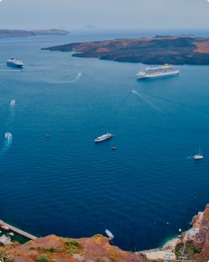
By sea: The harbour links the town to Piraeus and the islands of Kasos, Karpathos and Rhodes, and is also a cruise ship destination.
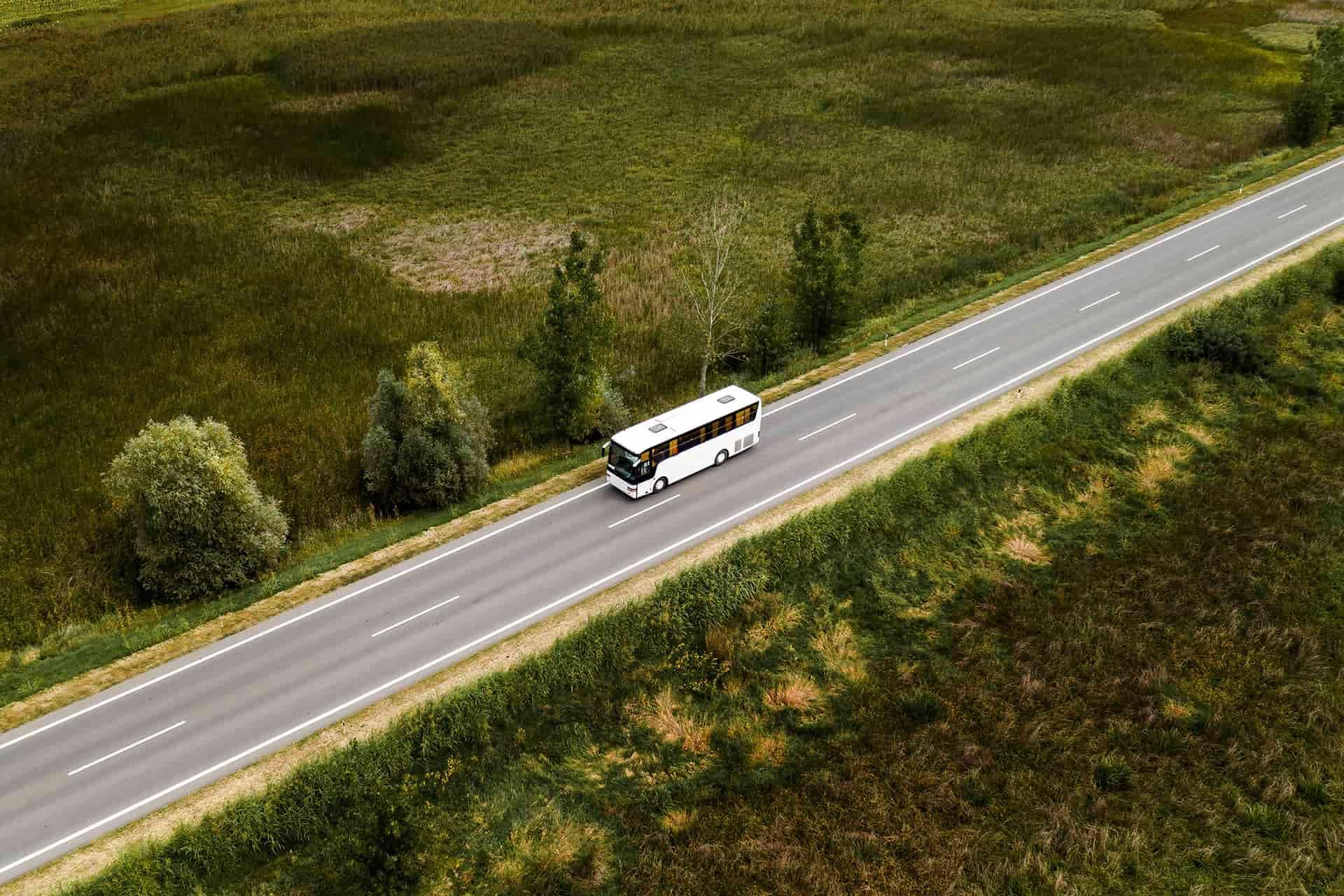
By road: There are two main roads to the area, the north and the south road axis. The north road axis connects Sitia to Heraklion and the rest of northern Crete. The south road axis connects Sitia to Ierapetra and southern Crete.
Source / ByBusMagazine
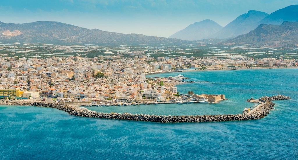
Ierapetra is in southeast Crete, in an extremely strategic position controlling the south coast of Crete and the Libyan Sea.
Favoured both by position and by nature, Ierapetra has always been an important centre of the island. It has grown into the largest town in south Crete and a major tourist destination. When you visit it you will find a lively, active town - much more so than Agios Nikolaos or Sitia.
Ierapetra, with around 13,000 inhabitants (2001 census), is a seaside town with an exceptional beach at its busy centre.
Ierapetra, sunny weather and the highest temperatures in Greece
What makes Ierapetra stand out is that it has the highest average of sunny days and the highest temperatures in Crete and Greece, with an annual average of 20 C.
Ierapetra is a town which has everything in abundance, but the one thing you won’t need here is an umbrella, since it rarely rains. According to the experts, the mountains of West and Central Crete act as barriers, stopping the clouds on their way to Ierapetra.
Ierapetra is one of the most fertile areas in Greece, and therefore one of the most productive. Its inhabitants mainly cultivate greenhouse fruit and vegetables, exporting them to many European countries.
Ierapetra is special because:
Ierapetra has many distinctions and claims even more:
it is the southernmost town in Europe
it is the town with the highest temperatures in Crete
it is an ideal base for holidays and excursions in southeast Crete
it is one of the most productive farming towns in Greece...
The list is a long one, but until recently Ierapetra was not one of the most attractive towns in Crete or Greece. In recent years, however, there have been efforts to prettify it. The restructuring of the coastal road has indeed improved it a great deal, making it ideal for a stroll and somewhere to sit for lunch or an evening drink with a view of the sea.
The town of Ierapetra has pretty corners to discover, making you forget that you’re in a busy place with a slight traffic problem and the general hustle and bustle of a town in constant motion.
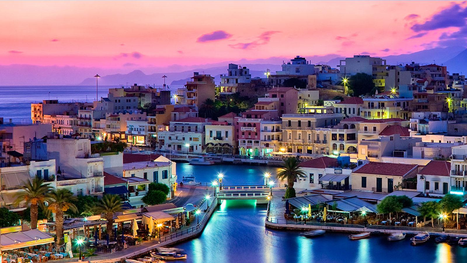
Agios Nikolaos is 65 kilometres east of Heraklion.
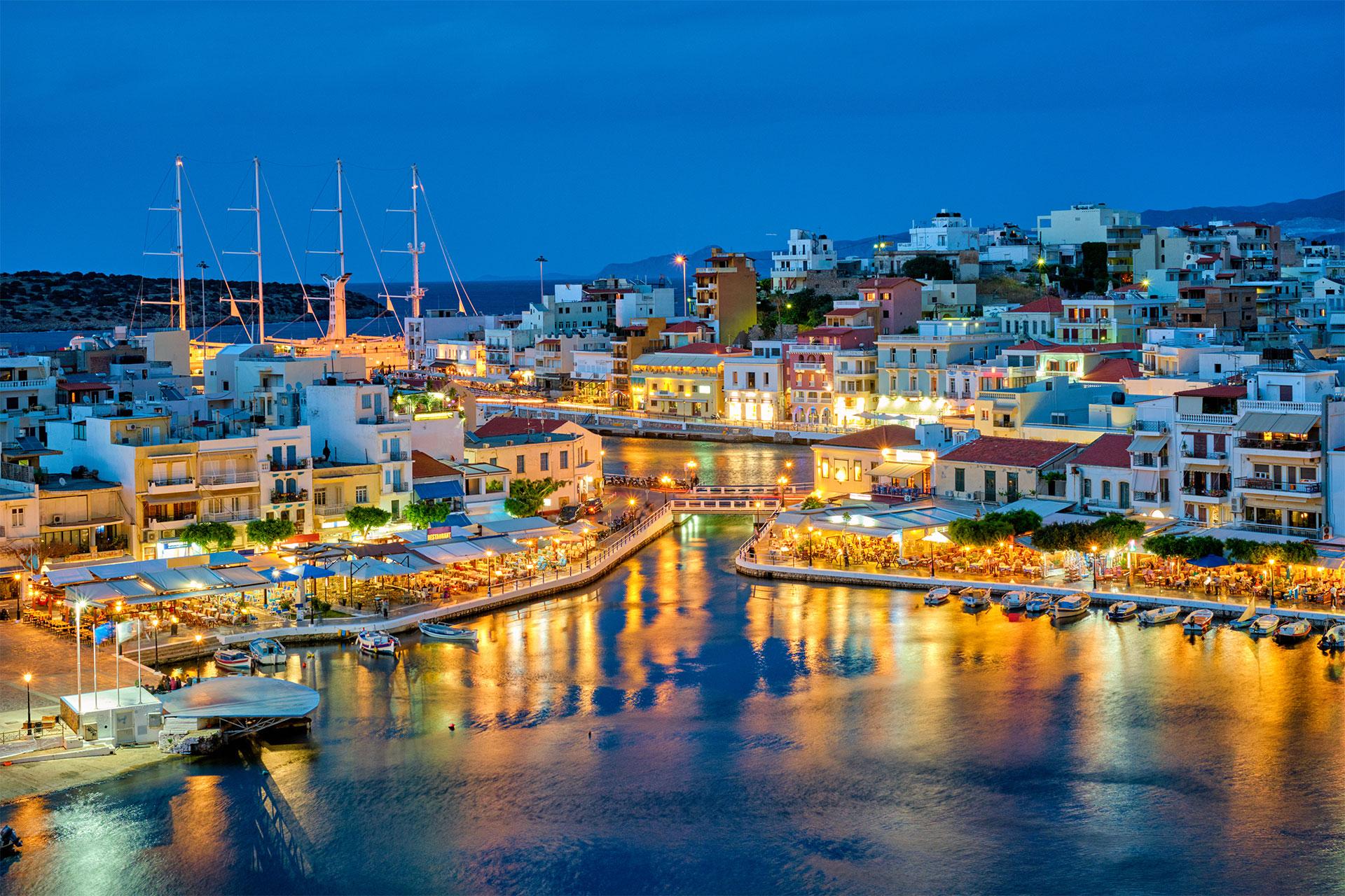
Agios Nikolaos, or just Agios as the locals call it, dominates the beautiful Merabello Bay, on the northeast coast of Lassithi Prefecture in East Crete.
Agios Nikolaos has a population of 10,000. Though small, it is the second largest town in Lassithi Prefecture, the easternmost prefecture of Crete.
Agios Nikolaos contrary to the other urban centers of Crete was not always an important settlement. In the Minoan years there was a small harbor, a little northern than the current one. On the hill between the lake of Agios Nikolaos and the current Marina, existed the ancient city of Lato that it appears to exist during the precocious Byzantine period. Later was build the temple of Saint Nicolas (Agios Nikolaos) which it gave its name and to the next little port, as well as to the entire gulf and to the current city. On the hill of the city during the period of the Venetian domination there was build the castle of Mirambellou, which suffered serious damage from the earthquake in 1303 and was burned by the raids of pirates in 1537. It was re-build and in 1645 its governor delivered initially to the Turks but the Venetians recapture it. When the had to abandon it again they preferred to blow it up.
The modern history of Saint Nikolaos begins in the 19th century when the settlement progressively began to develop mainly from the residents of other regions (Sfakia, Kritza). The major growth of the city is thanks to tourism.
The number one landmark of the area is lake Voulismeni, which it didn't always communicated with the sea, but was a closed lake and the fable wanted it not to be with out a seabed. Finally by sounding that was made in 1853 from Admiral Spratt it was discovered that it had a depth of 64m. In 1867-71 there was build little bridge that connected the lake with the sea. The lake as well as the dock of harbor constitute the basic landmark of Agios Nikolaos.
In the church of Agios Nikolaos you can see murals of the 14th century but also older layers with geometrical and plant patterns that refer in iconographies of the period of Iconoclasm.
You must pay a visit at the Archaeological Museum Agios Nikolaos with exhibits of Eastern Crete from the all periods of its ancient history.
